
I recently spent 4 days on a motorcycle trip traveling 400 miles on the Northern half of the Washington Backcountry Discovery Route (WABDR) with one of my oldest and closest friends. I’ve had this friend for over 30 years in fact, which is a little hard to believe. We’ve literally grown up together and despite the responsibilities of middle age, especially for him with family and career, we have managed to regularly do these kinds of trips together.
We did the Southern half of the route from the Oregon border to just North of Wenatchee in 2021. This trip covered the Northern section from the Canadian border to the Entiat area North of Wenatchee that we didn’t get to on that trip.
Jocelyn and I drove up from Portland on July 3rd and spent the 4th of July with my friend and his family in Wenatchee. We enjoyed an All-American feast of barbecued ribs followed by sparklers in the back yard. We got a surprisingly good night of sleep in the camper in their driveway. It seems the good people of Wenatchee actually take the fireworks ban there seriously, which is no surprise given the extremely dry conditions and the wildfires already burning nearby.
Day 1
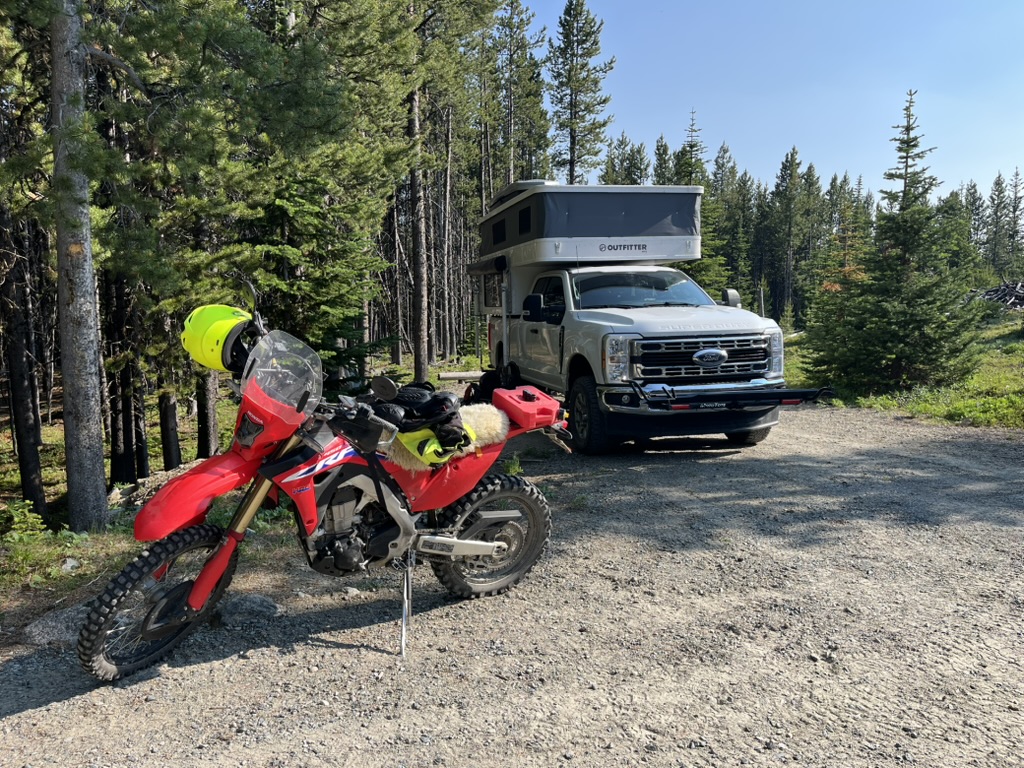
Our plan was to ride the trail from North to South. Since we only had 4 days to cover many miles of dirt and back roads, we wanted to save a little time and limit the amount of pavement by cutting out the long ride on Highway 97 back to Wenatchee if we did it from South to North. We loaded up both bikes on the truck, one on a front hitch carrier, and one on the back, putting the Super Duty to the test. The plan was then for Jocelyn to drop us off and work from the woods while we rode the trail. We would meet her back in Wenatchee 4 days later.
We traveled on Highway 97 North along the Columbia River and into a fierce headwind. Along the route, we saw multiple wildfires along the road as we traveled. Fire crews and water planes working hard to save houses, orchards, and people’s livelihoods. The miles of scorched hillsides, created by the wind fueled blaze in just a few hours, were a reminder of the extreme fire conditions the Northwest is facing this year.
We spent the first night at the Cold Springs Camp on the BDR at 6200 feet and just about 5 miles as the crow flies from the Canadian Border. We arrived at the camp spot in the early afternoon, unloaded the bikes, and rode the northernmost portion of the BDR to the Canadian border. The route was mostly paved along the Oroville-Nighthawk road and covered about 20 miles. We passed by scenic Palmer Lake ringed with mountains and Osprey nests before arriving at Nighthawk, a still inhabited mining boom town with a historic hotel and a few present day residents. We arrived at the tiny Chopaka-Nighthawk border crossing—the only ones there—where we turned around and headed back South having reached the Northern terminus of the BDR.
On the way back, we took a detour to the town of Loomis hoping to top off our gas tanks before heading back to camp. Unfortunately, the one store in town with gas was closed, but we did get to see a herd of Bighorn Sheep along the road. We arrived back in camp having traveled about 50 miles altogether on the bikes for that first day. The minimal mileage combined with a good meal and comfortable bed in the camper that night made for an easy first day on the trail.
Day 2
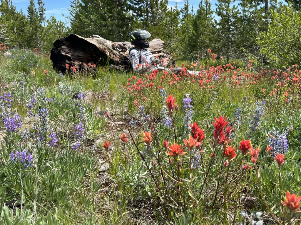
Day two was our first full day on the bikes and on the BDR. We spent much of the day around 6,000 feet of elevation passing through lush meadows full of Lupine and Paintbrush, and getting our first views of the snow capped peaks of the Cascades to our West. The route consisted of well maintained fire roads, with some steeper, narrower, and rockier sections thrown in to keep things interesting. Temperatures were comfortable for the most part until we dropped 4,000 feet down into the town of Conconully where the temperature quickly rose.
Conconully is a quaint and tidy little town along a picturesque reservoir set amidst the mountains. We filled up on gas at the general store and while I was looking forward to one of the milkshakes advertised in the window, I had to settle for one of the few remaining ice cream sandwiches as everything else had been cleaned out by 4th of July revelers. It hit the spot nonetheless as we rested in the shade of a tree next to the store.
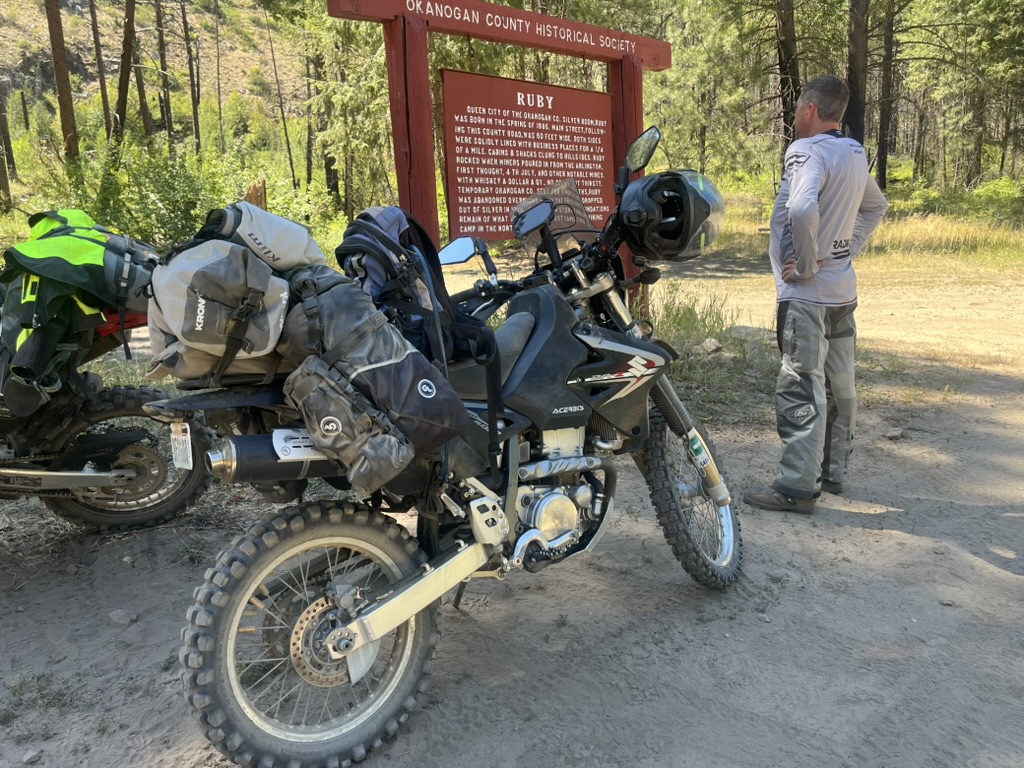
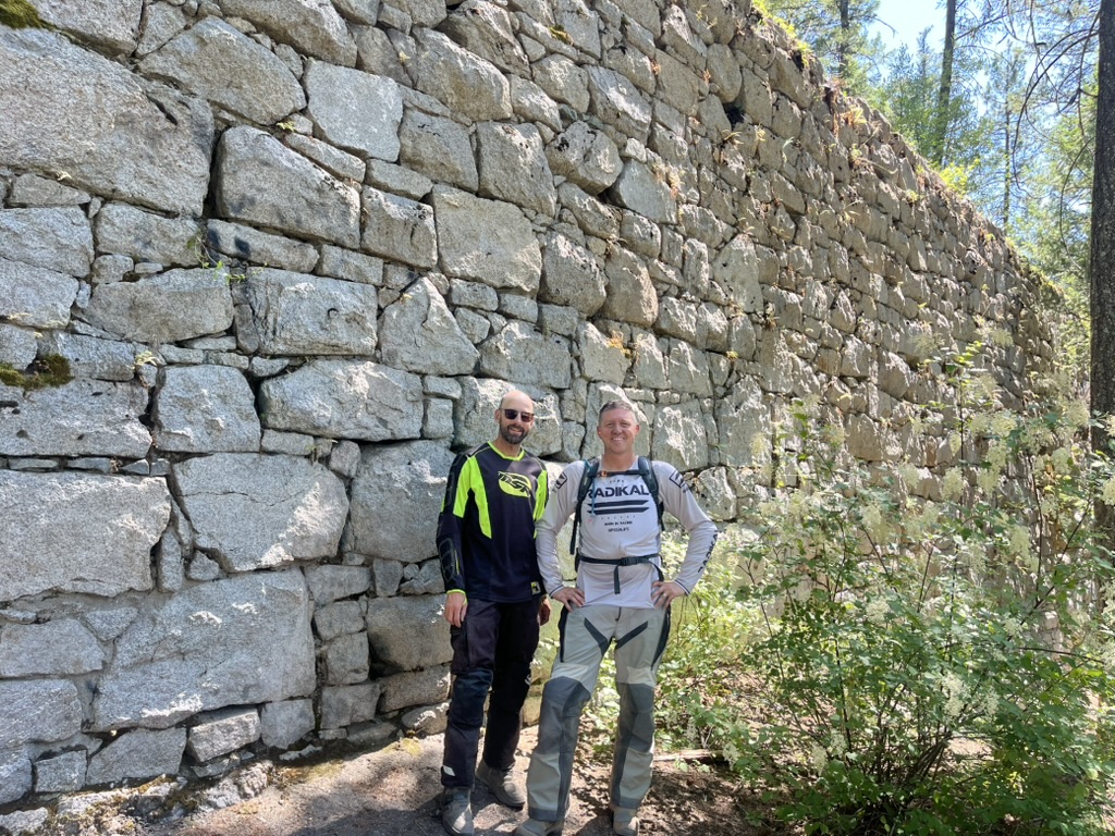
After a short section of pavement, we turned off onto a gravel road once more where we followed Loup Loup Creek through the Okanogan mountains. Along the road, there were many signs of the silver mining boom in the area in the late 1800s including the town site of Ruby and the “China Wall of Loup Loup”, a set of massive stone walls that formed the foundation for a mill that was never completed.
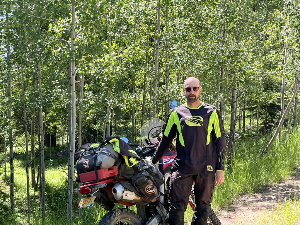
We climbed about 2000 feet up out of the creek bottom and decided to start looking for a campsite. Not sure if we would find water before we found a camp spot, we filtered water from a spring fed stock tank that we came across on the side of the hill. As we were getting our water, another rider stopped and we chatted about trail conditions and he warned us of a closed road outside of Twisp. We eventually found a camp spot along a trickle of a creek named Chiliwist. Enough of a trickle that we were able to wash some of the road dust off. Having covered about 100 miles for the day, we set up camp, made dinner, went for a sunset stroll and turned in with the sun.


Day 3
Day 3 started with a Mountain House freeze dried “breakfast skillet” and instant coffee. Not fancy fare by any means, but hot, salty, and caffeinated. We packed up camp and were back on the trail by 9 am. We meandered through the foothills of the Okanogans and then dropped down into the Methow Valley and the mountain town of Twisp where we stopped for gas and cold drinks.
Climbing up out of Twisp on Poorman’s Creek Road, we encountered a logging truck coming the other direction, and then a “Road Closed” sign that had been moved out of the way. Assuming the road was no longer closed, we continued on, only to encounter more logging machinery in the road loading a truck. We squeezed by and continued on into some of the most scenic country of the ride.
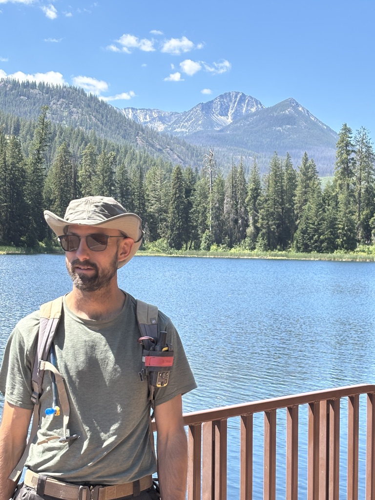
Black Pine Lake was particularly scenic, with its clear water and views of the jagged, snow capped peaks of the Lake Chelan-Sawtooth Wilderness in the distance. Unfortunately, this spot was also marred by one of the trip’s worst experiences, when a puppy belonging to a different group decided to pee on my backpack. I held my tongue; at least the puppy was cute and there was a water spigot nearby to rinse off my pack.
The ride continued along the North Fork Gold Creek in the cool shade of Alder and Cedar, a welcome respite from the sun in all of our riding gear. Given the previous day’s slight challenge with finding water, we decided to stop and fill up out of Gold Creek. I strapped a full water bag to my bike and we continued up the trail.
Climbing out of the Gold Creek Canyon, our first glimpses of Lake Chelan came into view. The long, narrow, glacially carved lake encompassed by arid hills and orchards to the East and 6,000 foot peaks of the Cascades to the West provided stunning and varied views for miles as we climbed and wound our way along it’s Northern shore. The rough road proved too much for the water bladder strapped to my bike however, bouncing it off the bike and into my rear sprocket, bursting it open and dumping 3 liters of precious water into the dust.
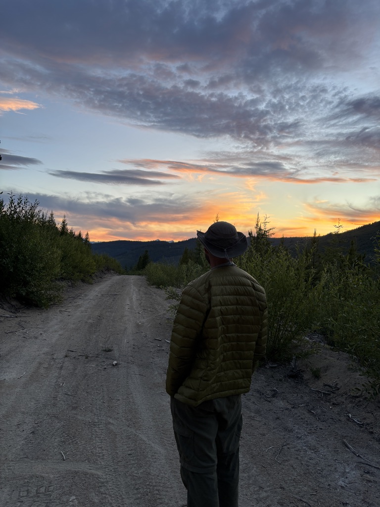
We made camp, tired and dusty after 120 miles, in the hills above the lake. The spot wasn’t the best, but it was perfect for our needs. All we needed that night were a couple flat spots for our tents and a view of the sky where we could watch the sunset and marvel at some quickly changing cloud formations—dragon scales to starships. We were in bed with the sun again, tired in the good way that only a long day of adventure brings.
Day 4
Our 4th and final day on the trail started with rain drops coming through the mesh of my tent and a scramble to throw the rain fly on. I was able to get a bit more sleep after the excitement and after breakfast we were back on the bikes. We started the day by descending the hills on the North side of the lake and dropping into the small town of Chelan on the Eastern end. We filled with gas in town and then continued on pavement around the other side of the lake past resorts, cute fruit stands, and ostentatious vacation homes. At Twenty-Five Mile State Park, we turned off the pavement and once again started climbing back up to 6,000 feet.
We got many more glimpses of lake Chelan as we rode through the arid pine forest before dropping down into the Entiat River valley. The final 20 miles in the hills above the river took us past the scenic Steliko Lookout tower and through some of the slowest going trail of the entire trip. What seemed like a never-ending series of switchbacks and 90 degree turns across dusty hills, finally came to an end at Crum Canyon Road. After an easy cruise on pavement past picturesque orchards, we came to Entiat River Road, and the completion of the WABDR. A final push on Highway 97 back to Wenatchee brought us to hot showers, a cool swimming pool, and big salads for dinner to make up for the lack of greens in our freeze dried diet for the previous 3 days.
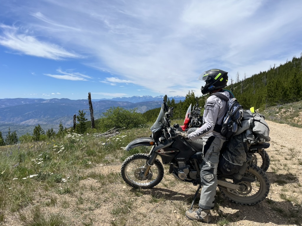
This trip with one of my oldest friends has been a highlight of my summer so far. There’s something about traveling by motorcycle that’s just different from the truck. I’m in the environment. The dust, the heat, the smells. The bike demands your undivided attention to keep it on the road and upright, especially in the more technical sections. Dunking my head in a cold stream or biting into a gas station ice cream sandwich in the shade of a tree become the pinnacle of luxury. Traveling in our truck camper boils life down to the essentials in some respects, but travel by motorcycle takes that even further. It’s just me, the bike, what I can fit in 50 liters of luggage, my travel companion, and the landscapes we are in. I’m thankful the only mishaps were some dog pee on a backpack and a burst water bag, but I’m also thankful for the freedom, time, resources, and relationships to be able to do trips like this.


Leave a comment