Author: tom
-
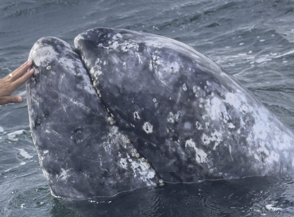
Notes from the trail #4: Whales and Oases in Baja California Sur
We left Bahia de Los Angeles early on a Friday morning. We were bid farewell by another beautiful sunrise that followed one of the best sunsets we saw in our time there, which itself followed a final dinner of fresh caught Barracuda. The Bay of LA treated us well and we’ll definitely be back. Our…
-
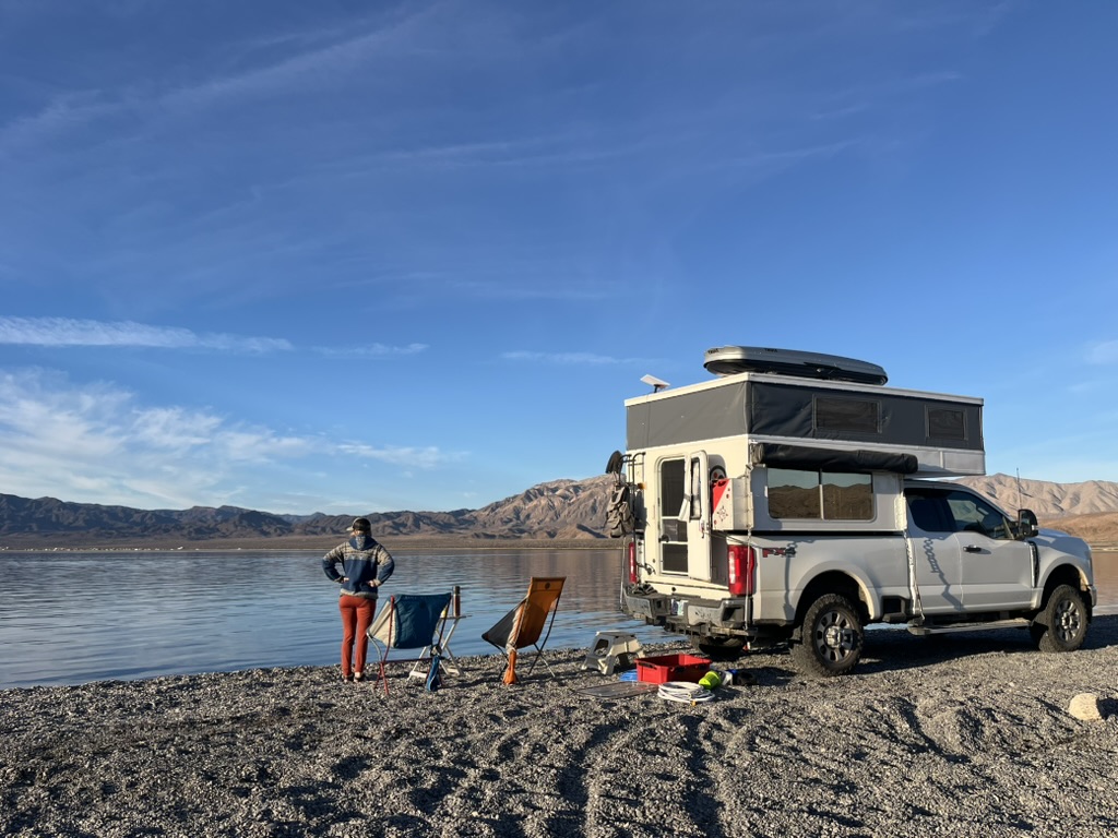
Notes from the trail #3: Our first week in Baja California
We’ve now been in Mexico for a bit over a week, but it seems like we’ve been here longer. I mean that in the best way. The people have been warm and welcoming, the weather perfect, the food incredible, and the scenery beautiful. We’ve settled in easily and felt comfortable quickly. We spent our last…
-
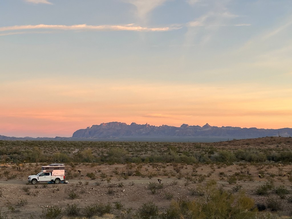
Notes from the trail #2: Sonoran Slowdown
Our second and third weeks on this trip saw us returning to work, which necessitated slowing down and staying in one spot for the week. We spent a week each in Anza Borrego State Park in Southern California and Kofa Wildlife Refuge in Southern Arizona. From Joshua Tree, we pushed South on Highway 86 leaving…
-
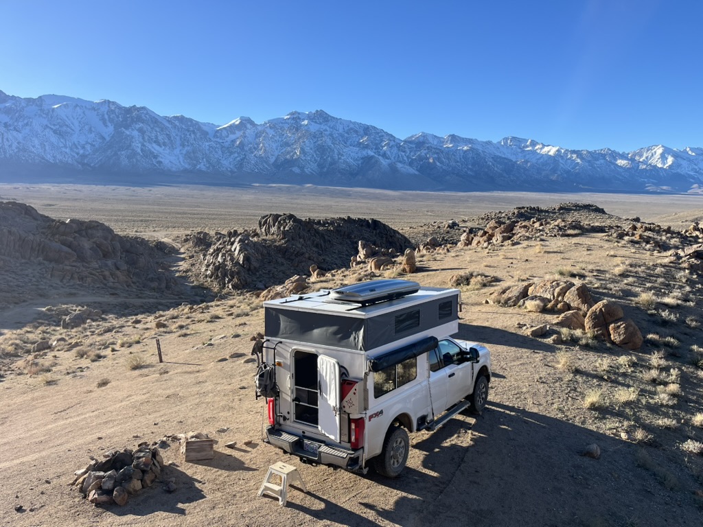
Notes from the trail #1: Baja bound
I’m starting a new series of “notes from the trail” posts that will first highlight our two month trip down to Baja and back at the beginning of 2026 and then, going forward, the series will highlight our other trips, big and small. We’re making some big changes in our life this year, one of…
-
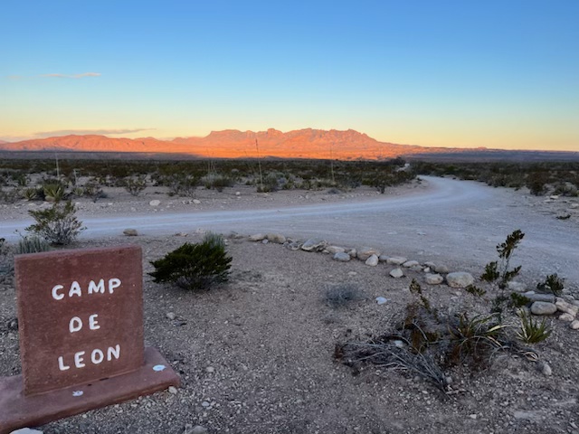
Desert Winds and Hidden Waters: Our Work Week at Camp De Leon
Our introduction to Camp De Leon came with an unexpected welcoming committee: relentless winds that howled across the desert at 25-30 MPH, punctuated by gusts hitting 55 MPH. I retreated to the truck cab for the day’s work, a mobile office that quickly turned into a sweltering box under the Texas sun. Not ideal, but…
-
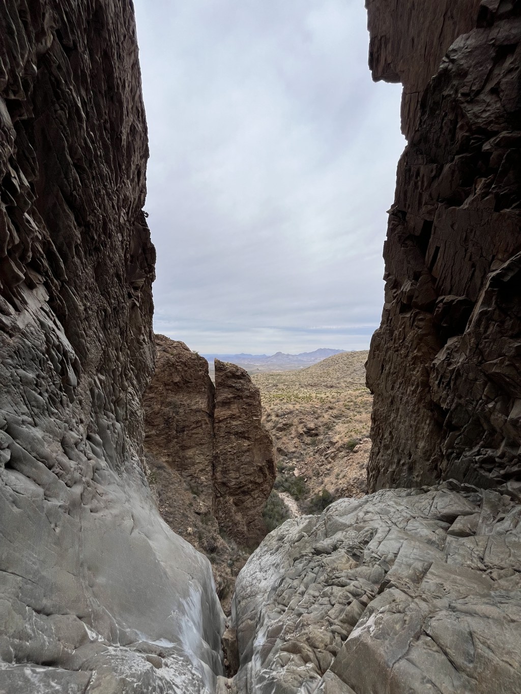
A Day Hiking the Stunning Windows Trail in Big Bend
The relentless desert heat drove us back to the Chisos Mountains, where we decided to tackle the Windows Trail – one of Big Bend’s must-see hikes. At the visitor center, we encountered what would turn out to be the first character in our day’s story: a volunteer guarding the trailhead and ensuring everyone had enough…
-
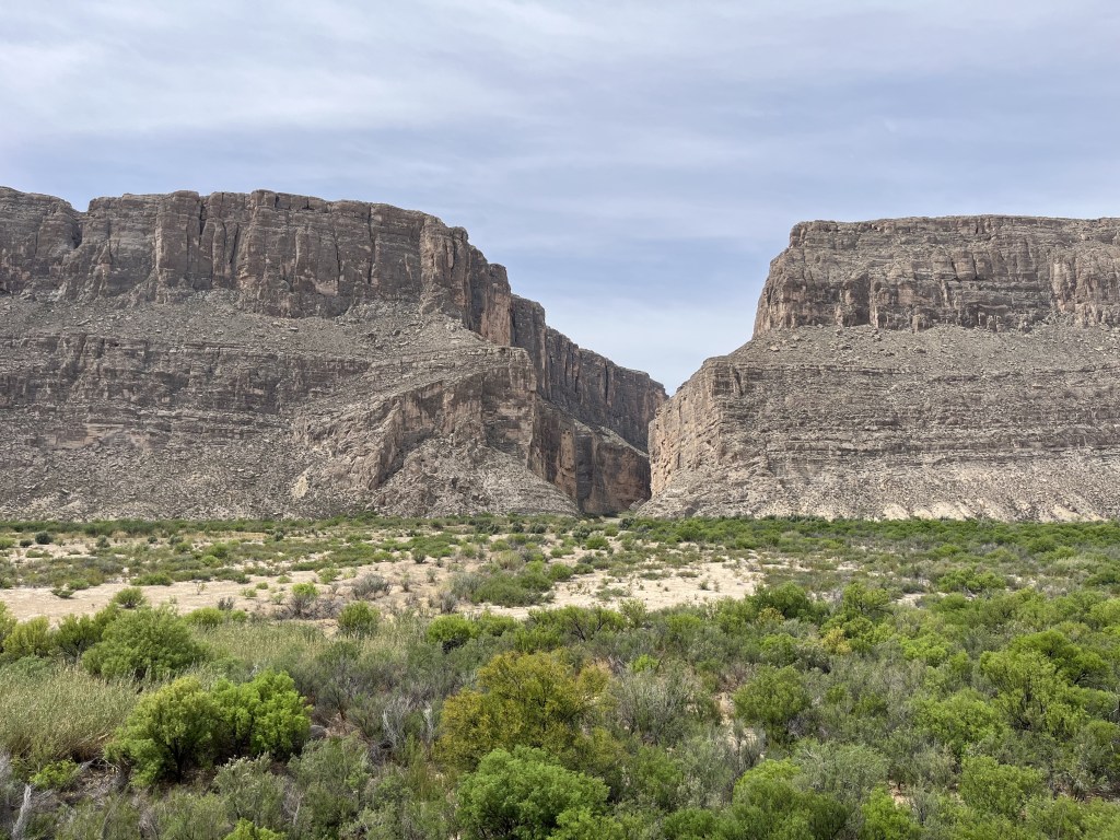
To Big Bend
We left Carlsbad near sunrise, which was around 7 am in the Mountain timezone of New Mexico, but 8 am directly South about an hour’s drive away in Texas, which is in Central timezone. A quirk of the artificial boundaries we like to place on space and time. Our destination was a Hipcamp we had…
-
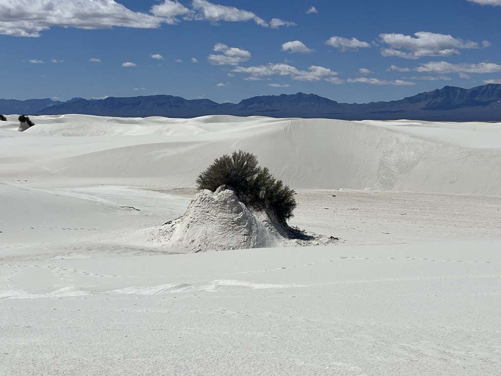
New Mexico National Parks
We stayed another cold, windy night outside of Las Cruces, New Mexico at the Preshistoric Trackways National Monument and so the day started out with a short hike there. This monument is quite different from others we’ve visited. It isn’t made up of stunning vistas or untouched wilderness. Rather, it’s only a few miles from…
-
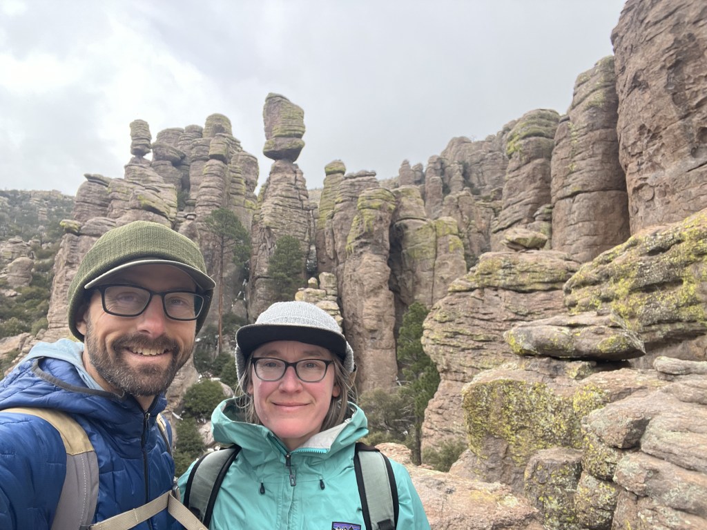
Chiricahua Country
Our final morning in Tuscon was another damp one and after a breakfast of conches and coffee, we headed into Tuscon to stock up on provisions. Jocelyn is something of a food Co-Op connoisseur so our grocery store of choice this time was Food Conspiracy Co-Op in downtown Tuscon. After loading up on fresh veggies,…
-
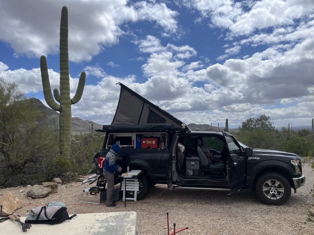
Kofa to Tuscon
I’m going split up week 4 into at least two posts because we had a week off of work and did a ton of stuff. Probably too much ground to cover in one post since I tend to be a little verbose as it is. Our first order of business was to get out of…
